Damage mapping of the 2016 Kumamoto EQ
Damage Mapping by SAR Remote Sensing
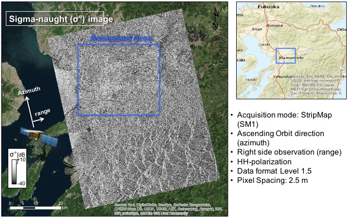
JAXA ALOS-2 data
The analysis was performed for damage mapping in the affected area of the 2016 Kumamoto earthquake, using the JAXA ALOS-2 PALSAR-2 data.
Results
Note that the results are preliminary and will be updated shortly.
| Acquisition date | Beam Mode | Orbit | |
|---|---|---|---|
| Post-event | 17 April 2017 | Strip Map , HH-polarization | Ascending |
The damage mapping was performed (Bai et al.,2016) by using JAXA ALOS2 PALSAR-2 post-event data (acquired on 17 April 2016) with the ground photos taken by Dr. Hideomi Gokon (The University of Tokyo).
Other Links
- International Research Institute of Disaster Science (Japanese) LINK